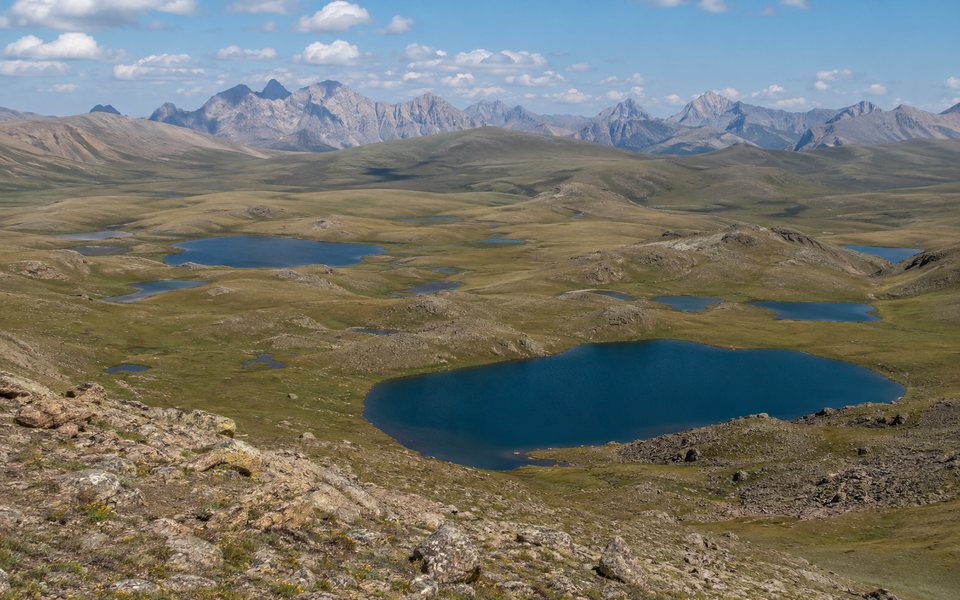
Lake Son-Kul
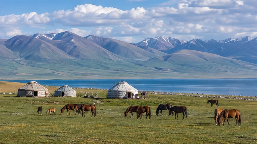
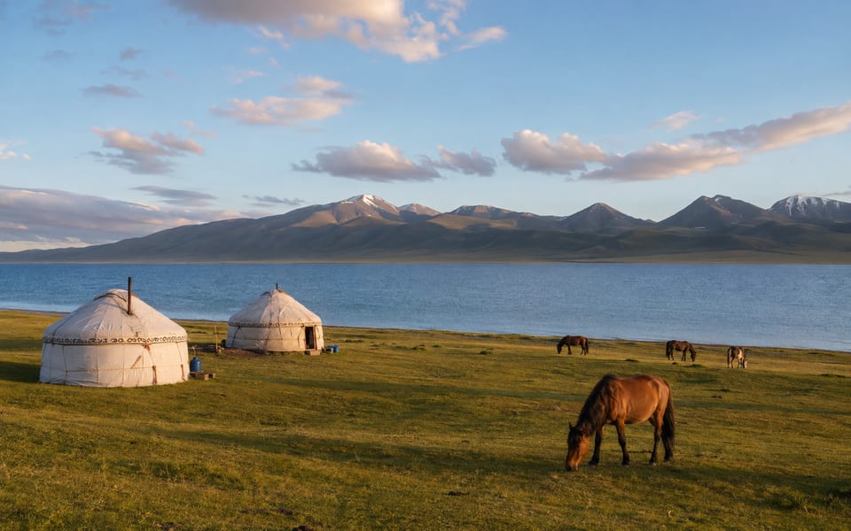
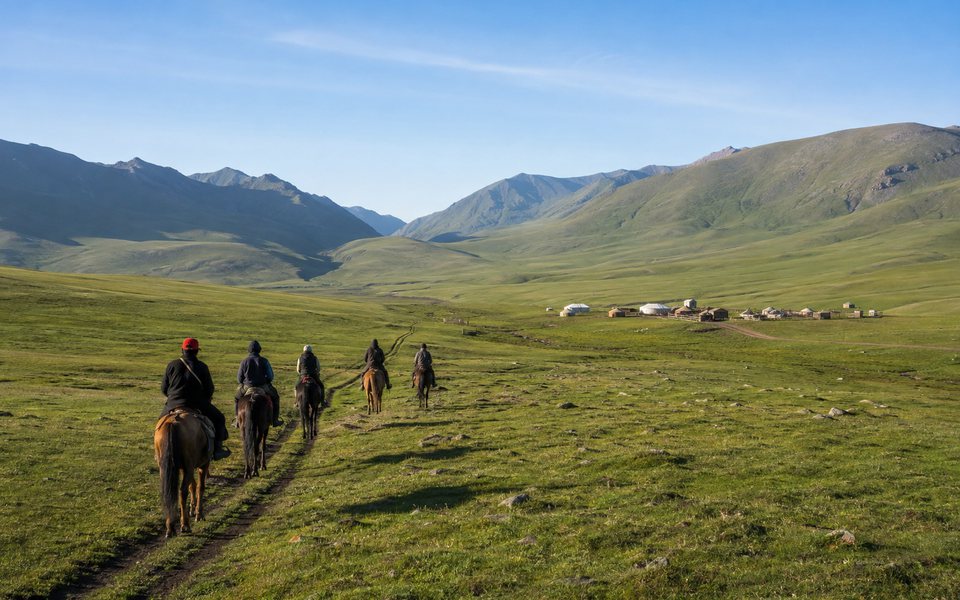
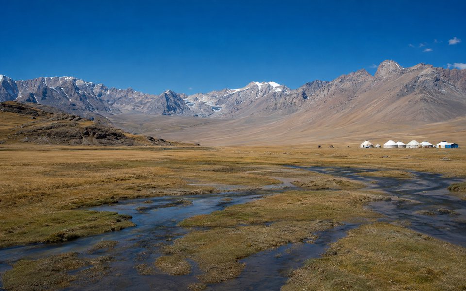
A grassland plateau with yurt camps, horseback riding and a wide horizon.
Nights are cold even in summer; choose a camp based on sanitary conditions and heating method.
A region of vast distances and abrupt weather changes, the route here is more important than a list of points: Son-Kul, Tash-Rabat, and Kel-Suu cannot be safely assembled without taking into account roads and overnight stays.
You can reach Naryn Oblast by domestic flight from Bishkek. While the flight shortens the journey to the regional center, travel to Son-Kul, Tash-Rabat, Kel-Suu, and other remote locations requires separate ground transportation.
Flights to Naryn are subject to schedule and weather conditions. Arrange your transfer from the airport to the start of the high-altitude route in advance.
Start with a must-see itinerary, then add recommended locations and reserve remote or seasonal spots for free days. Prioritizing helps you choose, but it doesn't replace checking the road, weather, and access regulations.
The region's most recognizable and informative sites. Start with these if you're visiting for the first time or have limited time.
A grassland plateau with yurt camps, horseback riding and a wide horizon.
Nights are cold even in summer; choose a camp based on sanitary conditions and heating method.
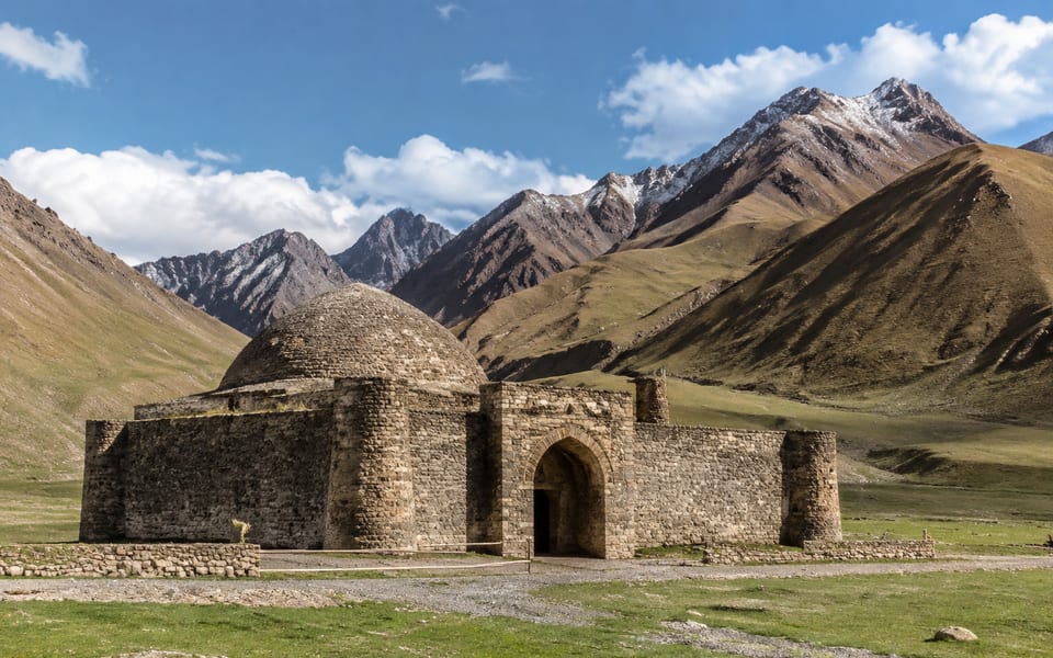
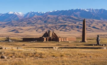
A stone caravanserai in the Kara-Koyun valley, connected to the routes through the Tien Shan.
It's better to set up an overnight stay nearby and not drive back after dark.
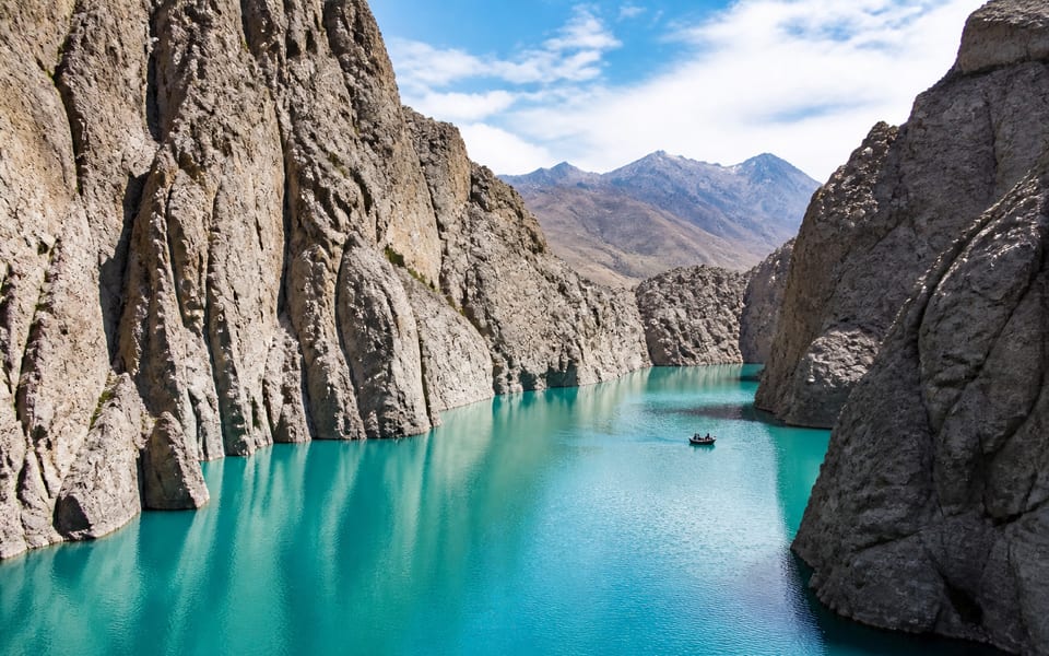
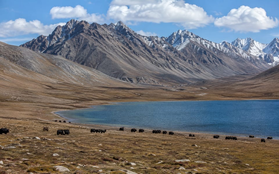
A remote lake in the Ak-Sai region, the water level and visual appearance of which can vary.
Border formalities, 4x4, acclimatization and weather reserves are required.
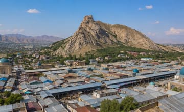
A practical base with a market, museum and access to the valleys of the central part of the region.
Use the city to replenish supplies before heading to remote areas.
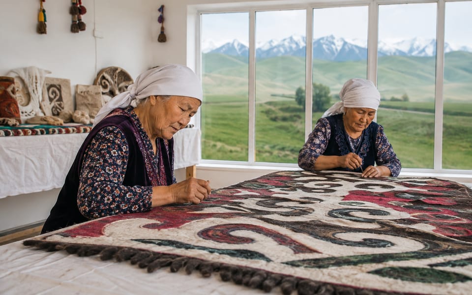
Center for craft programs, felt workshops and routes to Son-Kul.
Please check the origin of the items and the format of the workshop before paying.
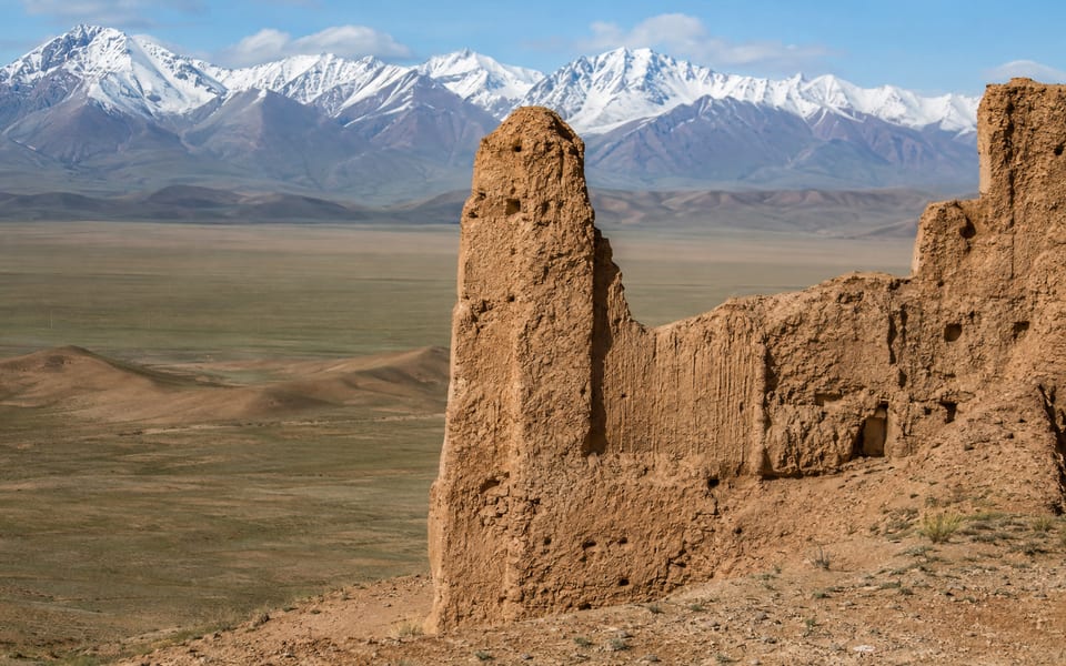
The remains of a fortified settlement and a wide valley on the way to Tash-Rabat.
Without the guide's explanations, the archaeological site is less clear.
Places that reveal the region in greater depth and complement the main program for a multi-day trip.
More affordable options for exploring the landscapes near Naryn.
Suitable for an extra day without a long drive to the border.
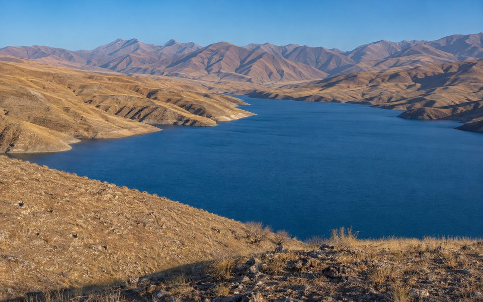
Blue water surface among dry mountains on the road between Issyk-Kul, Kochkor and Naryn.
Stop only on a stable extension and do not go down the loose bank.
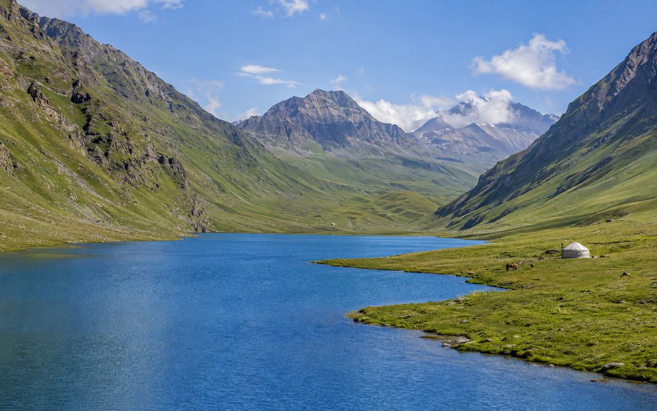
A two-day hiking or horseback riding route from the Kochkor region to the alpine lakes.
Plan your trip to the upper Kөl-Tөr separately based on the weather and physical fitness.
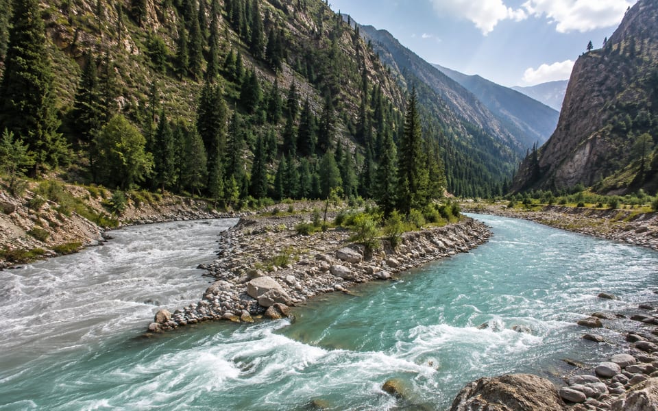
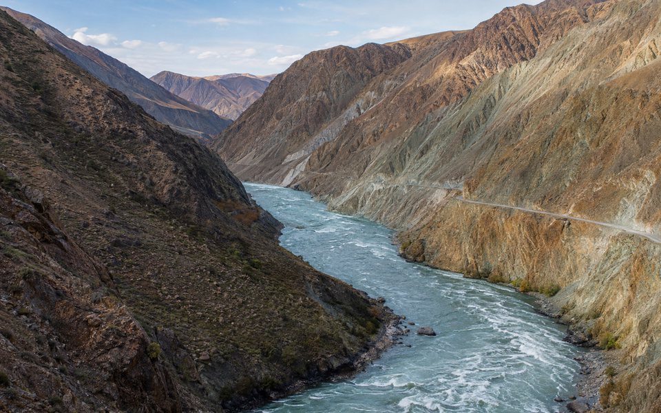
A powerful mountain river, multi-colored walls and a long route through Zhumgal.
Choose only wide stops and do not go near fast currents.
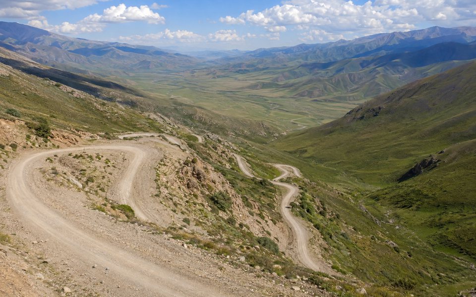
A spectacular dirt serpentine road and seasonal access to Son-Kul via Ak-Talaa.
Check the pass opening on the day of departure and use a suitable vehicle.
Start of hiking and horseback riding through jailoo and passes to the Son-Kul plateau.
Agree on the experience of riders, horses, equipment and overnight accommodations in advance.
Remote, seasonal or more specialized points for repeat travel and itineraries with additional time.
A high-altitude, endorheic lake near the Chinese border and an important bird habitat.
Access is regulated; please check permits and environmental restrictions in advance.
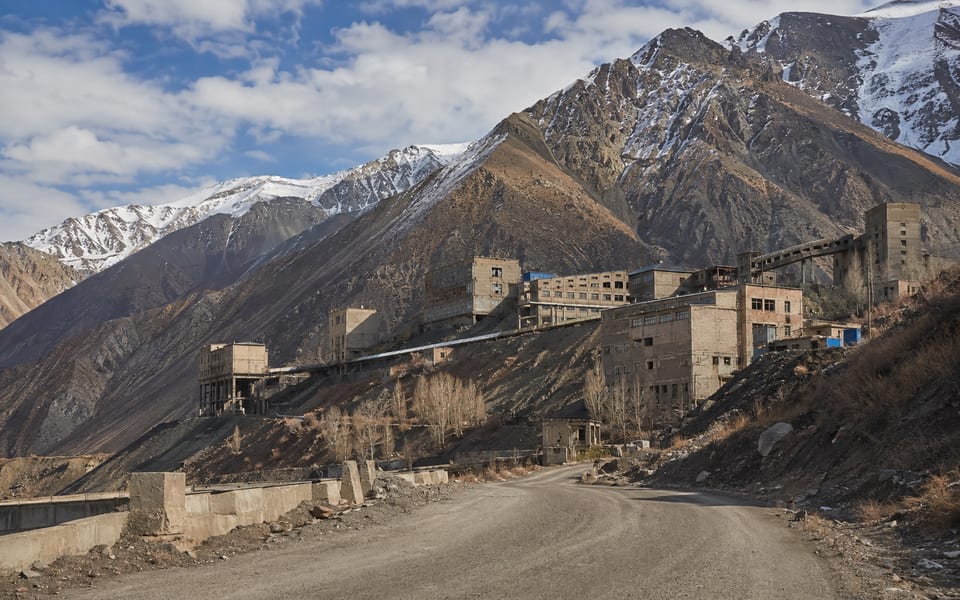
Remote settlements with a Soviet legacy and complex road logistics.
This is a direction for a conscious route, not a random short detour.
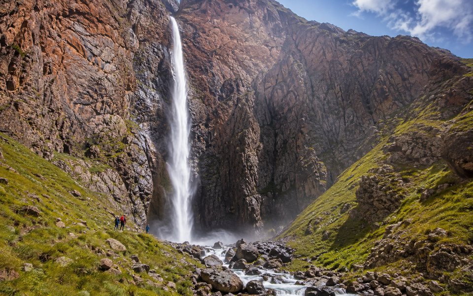
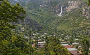
A high waterfall in a remote gorge near Bash-Kayindy and a full-fledged mountain hike.
A local guide, early start and separate assessment of crossings are required.
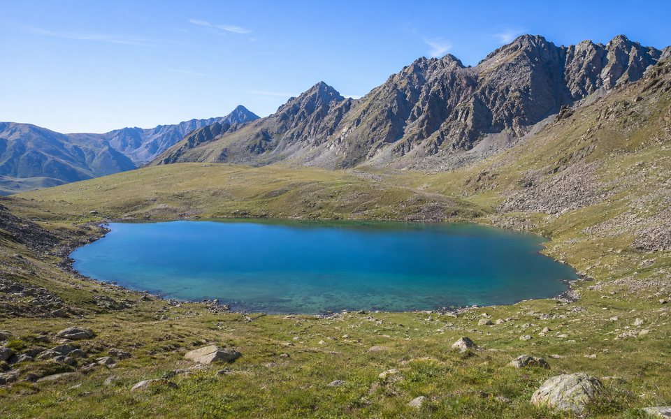
A group of remote alpine lakes in the Ak-Tala region for an autonomous hike.
Plan for 2-3 days, a guide, warm overnight accommodation and 4x4 transport.
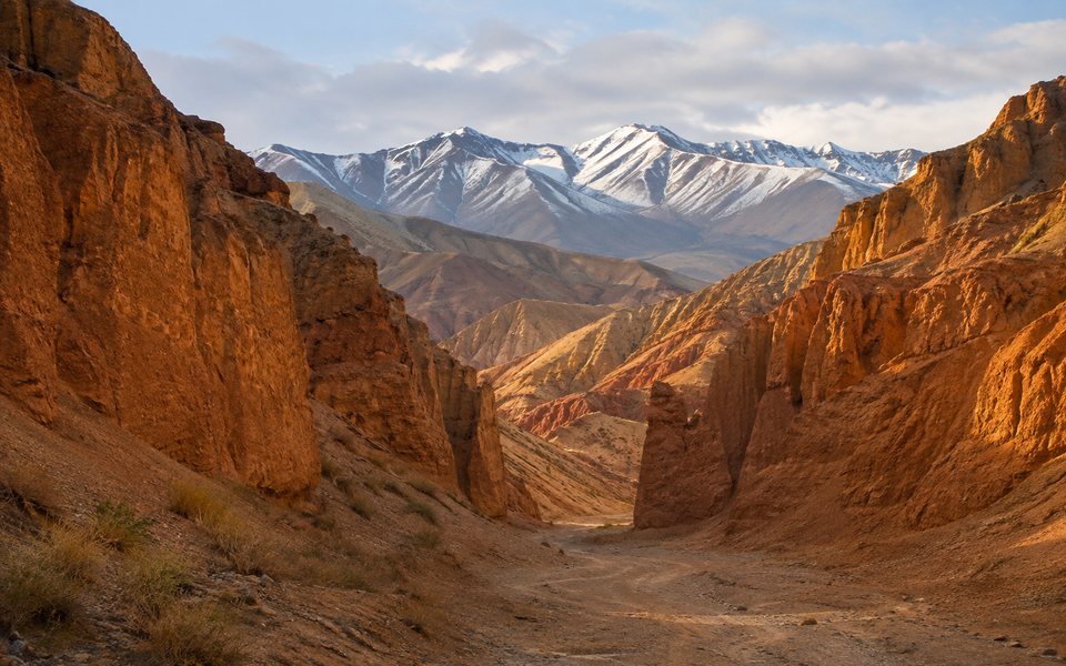
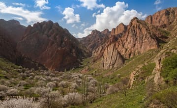
Ochre erosion walls and narrow passages near Emgek-Talaa.
Do not enter the canyon during rain or climb onto loose edges.
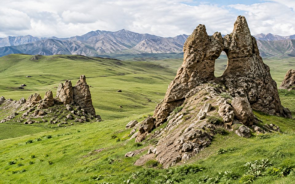
Natural stone windows, remnants and summer pasture near Kara-Unkur.
Avoid driving on grass or climbing on fragile rock formations.
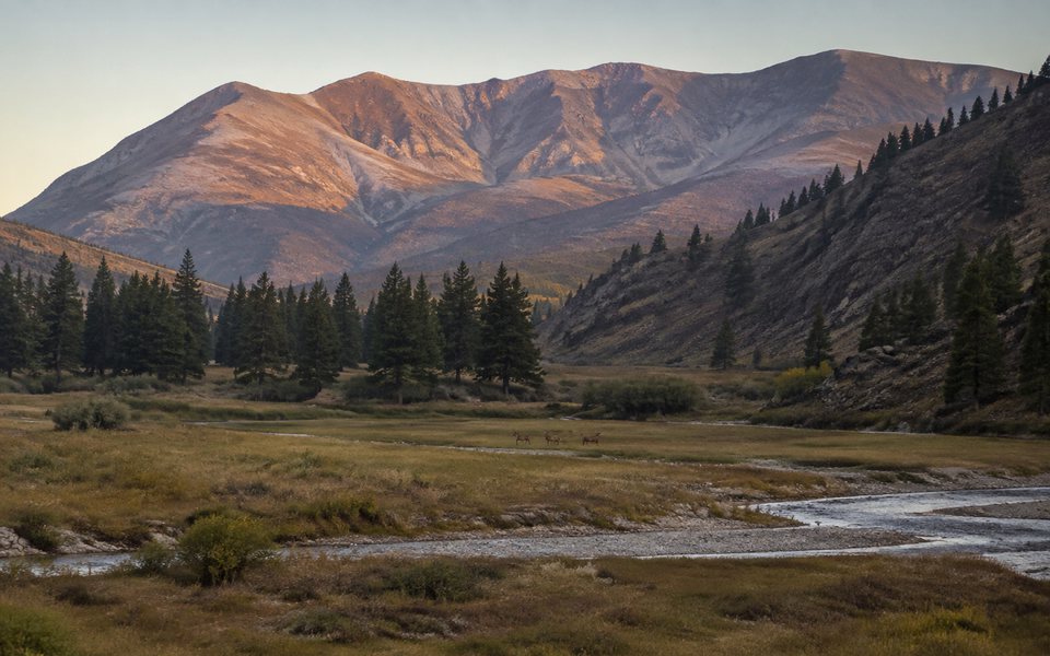
A mountain nature reserve for quiet observation of the landscape and animals.
Check access rights and do not use your drone without official permission.
High mountain plateau, fords and a field base on the way to Lake Kel-Suu.
Apply for a border pass in advance and take the original documents with you.
A separate high-mountain lake in the At-Bashinsky district with a hiking route from the Bosogo jailoo.
Specify “Bosogo” or “At-Bashy” so as not to be confused with Kol-Tor near Kol-Ukok.
Mountain conditions can change faster than guidebook information. Plan your route and allow plenty of time.
We can help you organize a tour or excursion in Kyrgyzstan. Selected region: Naryn regionWe'll select a route based on the attractions, calculate a suitable duration, and discuss transportation, support, and accommodation options.
We will take into account the duration of the trip, the composition of the group, the season and the desired pace of the holiday.
We'll help you choose a ready-made program or put together a personalized plan to visit the places you're interested in.
We will clarify transportation, support, and accommodation options, taking into account the specifics of the route.

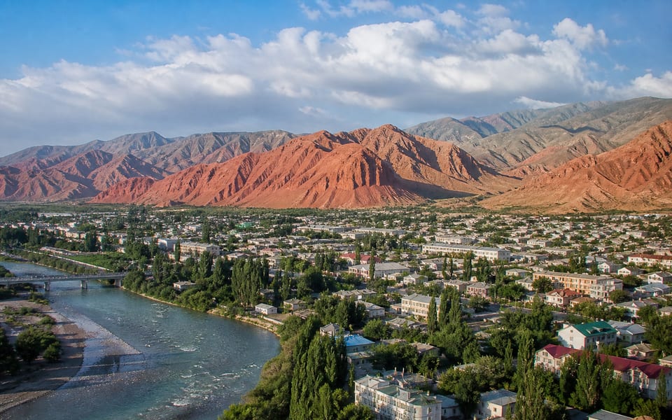
The guide includes Lake Son-Kul, Tash-Rabat, Kel-Suu, Naryn, the Red Mountains panorama, and Kochkor. Other natural, historical, and urban sites are listed below, along with photos and planning tips.
Recommended period: June–September; some sites are only accessible during a short summer period. For high-altitude and remote locations, actual road accessibility and weather forecasts should be checked immediately before departure.
A good guideline for exploring the region is 4–7 days. Don't combine distant attractions into one day without taking into account road conditions, elevation, and time for stops.
High clearance or 4x4 for remote lakes; checking the passes is mandatory. For border, high-altitude, and expedition routes, check in advance whether a permit, a suitable vehicle, and a local escort are required.
Send a specialist via WhatsApp the name of the region, dates, number of travelers, and attractions of interest. They will clarify the itinerary, transportation, support, accommodation, and prices of available options.
This guide is based on official and industry-specific materials. Please check the current conditions for complex routes before your trip.