


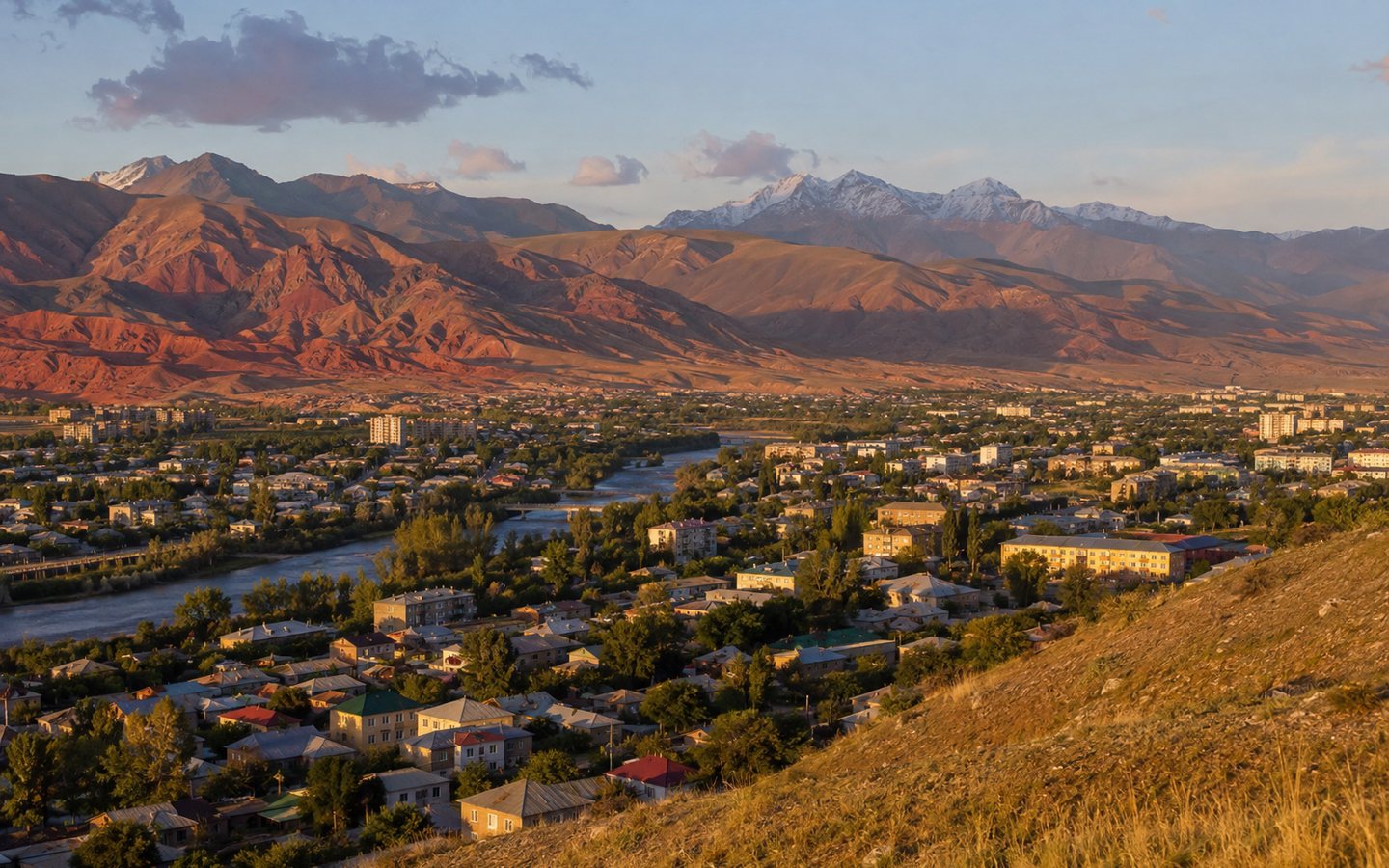
Naryn and panorama of the Red Mountains
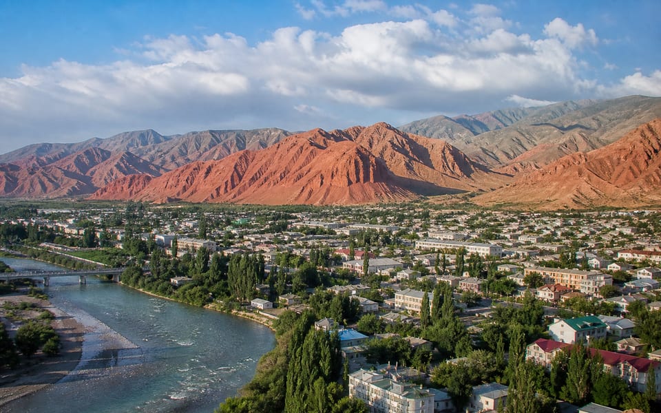
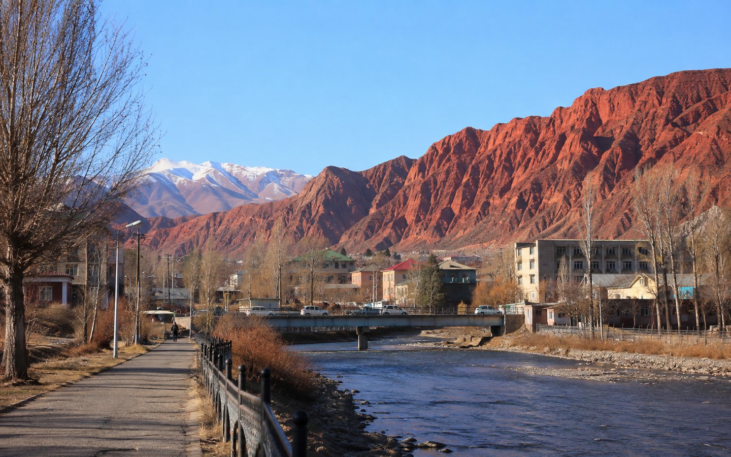
Naryn stretches along the Naryn River between steep mountain slopes. For most travelers, it's a logistical hub between Son-Kul, At-Bashy, Tash-Rabat, and Kel-Suu, but the town deserves a day in its own right. Its character is evident in the river, bridges, long main street, market, and the reddish-brown formations on the southern side of the valley.
- Region
- Naryn region
- When to go
- all year round; May–October are the most comfortable periods for walking
- Time to visit
- half a day–1 day, plus an overnight stay before a long route
- Complexity
- easy in the city, moderate on panoramic slopes
What's interesting about this place?
Naryn stretches along the Naryn River between steep mountain slopes. For most travelers, it's a logistical hub between Son-Kul, At-Bashy, Tash-Rabat, and Kel-Suu, but the town deserves a day in its own right. Its character is evident in the river, bridges, long main street, market, and the reddish-brown formations on the southern side of the valley.
Naryn is convenient for acclimatization, resupplying, and experiencing the daily life of the region. Transportation, communication, and equipment are easier to arrange here than in remote valleys. Instead of trying to mark individual points, it's better to plan a route from the city center to the river and one of the safe panoramic views.
What is it famous for?
- One of the highest mountainous regional centers of Kyrgyzstan
- The contrast of the Naryn River, urban development and red-brown slopes
- The main practical base for traveling in the Inner Tien Shan
Who is it suitable for?
Independent travelers
The city is a convenient place to gather transport, cash, food, and communications before heading off on the remote part of the route.
Urban geography enthusiasts
The elongated layout between the river and the slopes clearly shows how the topography shapes the high-mountain city.
Families
A leisurely stroll through the city center and along the embankments is easier than a long trip, but panoramic trails require supervision of children.
History and meaning
The Naryn Valley was part of the Tien Shan interior routes long before the emergence of the modern city. The settlement developed as an administrative and trade center, serving the surrounding valleys and routes through the passes. The river determined the location, transportation links, and economic life of the area.
Modern Naryn combines Soviet planning with new public spaces, educational institutions, a market, and private housing. Its value for travelers lies not in its grand architecture, but in the opportunity to experience a vibrant regional center and prepare for areas where services are severely limited.
What to see and what to pay attention to
The Naryn River
Walk along the accessible section along the water and see how the riverbed divides the narrow urban valley.
Red slopes
The best light on the terrain appears in the morning or evening; choose only a clear, safe path.
Center and market
The market and central streets are ideal for stocking up on supplies and getting to know the region's produce.
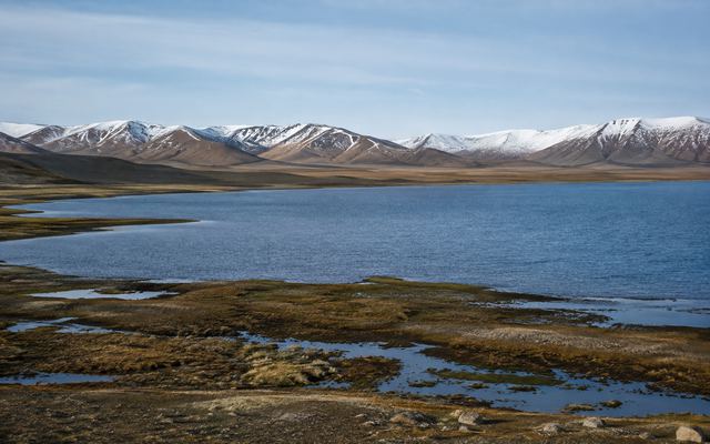
Photos: Naryn and panorama of the Red Mountains
Click on the photo to open the full-size version and scroll through the gallery.
How to organize a visit
- 01
Start from the center
Check out the museum's opening hours, stroll down the main street, and stop by the market for supplies.
- 02
Go to the river
Choose an accessible section of the embankment or bridge, avoiding unprotected cliffs and fast currents.
- 03
Finish with a panorama
Only climb along a clear path during daylight hours or choose a viewpoint accessible by car.
Before setting out, check the forecast, road conditions, opening hours, and access regulations. For mountain routes, consider daylight hours, communications, and the physical fitness of participants.
We organize a visit: Naryn and panorama of the Red Mountains
Want to include this place in your Kyrgyzstan trip? A specialist will help you choose a tour or create an itinerary that includes: Naryn and panorama of the Red Mountains. Также можно добавить другие достопримечательности региона Naryn region.
-
Route for your dates
We will take into account the duration of the trip, the composition of the group, the season and the desired pace of the holiday.
-
Tours and excursions
We'll help you choose a ready-made program or put together a personalized plan to visit the places you're interested in.
-
Practical organization
We will clarify transportation, support, and accommodation options, taking into account the specifics of the route.
Questions and Answers: Naryn and panorama of the Red Mountains
What to see in Naryn in one day?
Combine the city center and the market, a stroll by the river, and a safe panoramic view of the Red Mountains. If the museum is open, add it to your first half of the day.
Is it worth spending the night in Naryn?
Yes, especially before Tash-Rabat, Kel-Suu, or other high-altitude routes. An overnight stay gives you time to rest, check your vehicle, and stock up on essentials.
Is it possible to climb the Red Mountains on your own?
Only follow a clear, safe route and in stable weather. The slopes are crumbling, and some trails are unmaintained, so if in doubt, it's best to hire a local guide or limit yourself to the lower observation point.
Tour or excursion to a landmark «Naryn and panorama of the Red Mountains»: How to order?
Yes. A specialist can help you choose a tour or include a landmark in your customized itinerary in Kyrgyzstan. Please specify your dates, group size, and departure city to confirm the itinerary and price.
Other places in the region: Naryn region
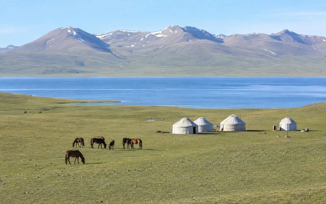 high mountain lake and nomadic cultureLake Son-Kul→
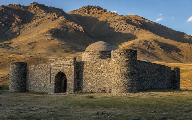 historical monument and caravanseraiTash-Rabat→
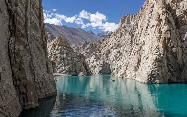 remote high mountain lakeLake Kel-Suu→
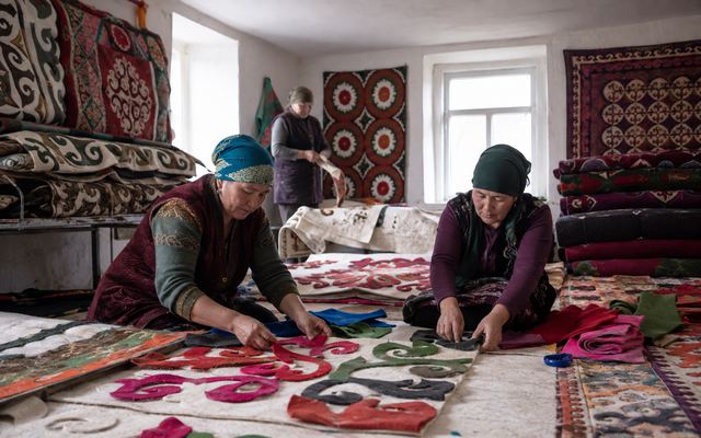 crafts, village and route baseKochkor→
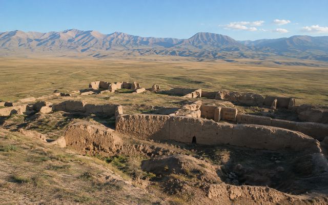 archeology and historical valleyKoshoy-Korgon and At-Bashy→
 protected high-mountain lakeLake Chatyr-Kul→
Sources and relevance
Historical and background information has been verified against official and industry-specific materials. Please check current conditions immediately before your visit.