


Kozhokelen and Chiiyrchyk pass
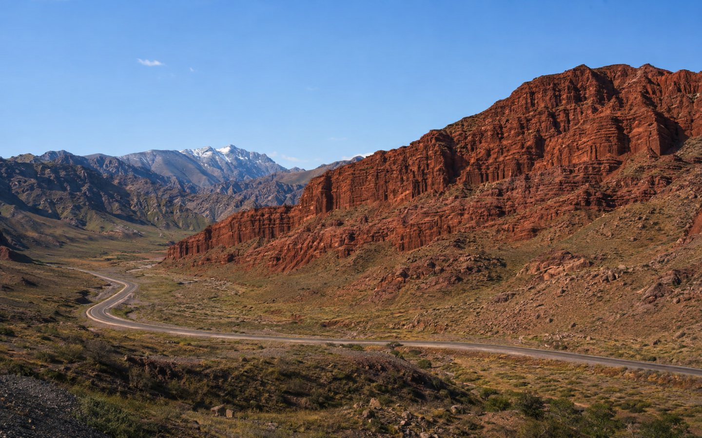
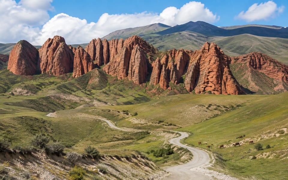
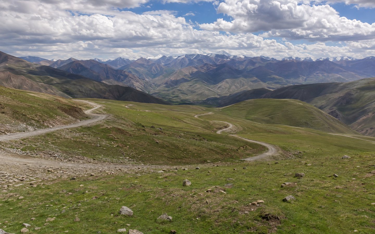
Kozhokelen is known for its red and ochre rock formations, dry valleys, and less popular hiking trails south of Osh. The Chiyyrchyk Pass is located on a major route toward Alay and offers a different kind of landscape—high-mountain pastures, switchbacks, and distant ridges. These places are logically connected by their direction, but they are not a single attraction.
- Region
- Osh and Osh region
- When to go
- May–October; in winter and after precipitation, only according to current road information
- Time to visit
- 1–2 days for Kozhokelen; Chiyyrchyk as a stopover
- Complexity
- from an easy sightseeing trip to a challenging trek
What's interesting about this place?
Kozhokelen is known for its red and ochre rock formations, dry valleys, and less popular hiking trails south of Osh. The Chiyyrchyk Pass is located on a major route toward Alay and offers a different kind of landscape—high-mountain pastures, switchbacks, and distant ridges. These places are logically connected by their direction, but they are not a single attraction.
A short trip to the rocks is possible in stable weather, while longer treks require a local guide and an overnight stay. At the pass, stopping at the narrow turnoff or stepping onto the road for photos is prohibited. After rain, the clay roads near Kozhokelen become more difficult, and fog on Chiyyrchyk dramatically reduces visibility.
What is it famous for?
- Red sandstone and clay landforms near Kozhokelen
- Panoramas of the high-mountain road through Chiyyrchyk
- Less popular routes between the Fergana and Alay natural zones
Who is it suitable for?
Photographers
Sidelight in the morning or evening highlights the layers of red rock without having to go near the scree.
Trekkers
The routes around Kozhokelen are interesting for prepared groups with a guide and a supply of water.
Auto travelers
Chiyyrchyk can be seen on the road to Alay, choosing only safe official stopping places.
History and meaning
Settlements and pastures in the southern foothills of Osh are connected by roads leading through the Alay Range. Chiyyrchyk remains one of the key stages in the ascent from the warmer valley to the highlands, and the surrounding landscape displays a rapid shift in natural zones.
The red formations of Kozhokelen were formed by geological processes and erosion, and local trails were used by residents for economic travel. Tourism is relatively new, so infrastructure is limited, and routes must be coordinated with the local community.
What to see and what to pay attention to
Red Rocks
View layers and towering forms from a stable path, without cutting into scree slopes.
Rural valley
Kozhokelen remains a residential settlement; passage through fields and pastures is agreed upon with the owners.
Chiyyrchyk pass
Stop only in a wide, safe area with good visibility of the road.
Photos: Kozhokelen and Chiiyrchyk pass
Click on the photo to open the full-size version and scroll through the gallery.
How to organize a visit
- 01
Choose your main goal
For one day, focus on Kozhokelen or use Chiyyrchyk as a short stop on the way to Alay.
- 02
Check the coverage
Check the condition of the dirt road after precipitation and don't rely solely on the navigator's time.
- 03
Go with a local guide
For a long trail, agree on water, overnight accommodations, pasture boundaries, and an alternate route.
Before setting out, check the forecast, road conditions, opening hours, and access regulations. For mountain routes, consider daylight hours, communications, and the physical fitness of participants.
We organize a visit: Kozhokelen and Chiiyrchyk pass
Want to include this place in your Kyrgyzstan trip? A specialist will help you choose a tour or create an itinerary that includes: Kozhokelen and Chiiyrchyk pass. Также можно добавить другие достопримечательности региона Osh and Osh region.
-
Route for your dates
We will take into account the duration of the trip, the composition of the group, the season and the desired pace of the holiday.
-
Tours and excursions
We'll help you choose a ready-made program or put together a personalized plan to visit the places you're interested in.
-
Practical organization
We will clarify transportation, support, and accommodation options, taking into account the specifics of the route.
Questions and Answers: Kozhokelen and Chiiyrchyk pass
Are Kozhokelen and Chiyyrchyk in the same place?
No. These are different points on the same southern route: Kozhokelen is known for its red cliffs and trails, and Chiyyrchyk is a mountain pass on the road to Alay.
Is it possible to go to Kozhokelen in a regular car?
In dry weather, part of the route may be accessible to a vehicle with sufficient ground clearance. After precipitation, decisions should be made based on up-to-date information from a local driver.
Do you need a guide for the walk?
For a short viewpoint, a coordinated approach is sufficient. For longer routes among the rocks and through pastures, a local guide is recommended.
Tour or excursion to a landmark «Kozhokelen and Chiiyrchyk pass»: How to order?
Yes. A specialist can help you choose a tour or include a landmark in your customized itinerary in Kyrgyzstan. Please specify your dates, group size, and departure city to confirm the itinerary and price.
Other places in the region: Osh and Osh region
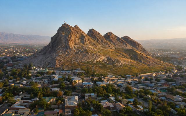 UNESCO World Heritage Site and Sacred MountainSulaiman-Too→
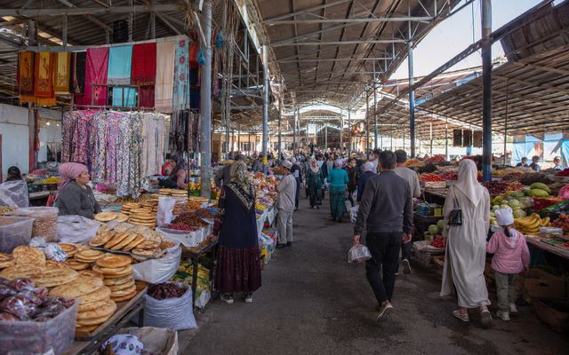 market, gastronomy and city lifeZhaima Bazaar→
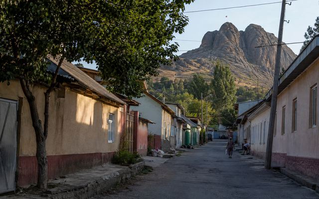 urban culture, museums and architectureMuseums and historical districts of Osh→
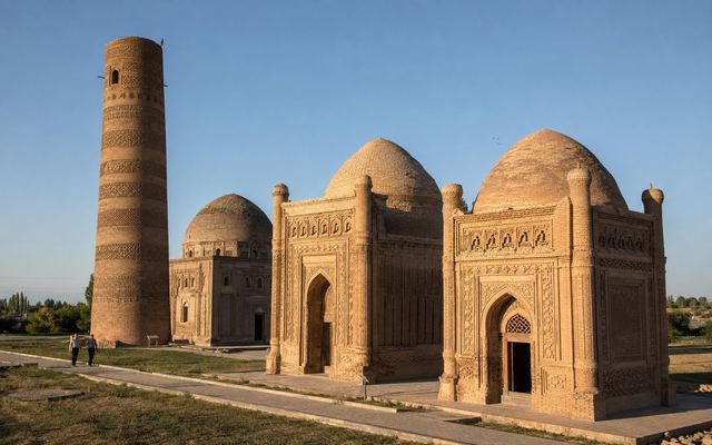 Karakhanid architecture and the Silk Road cityUzgen architectural complex→
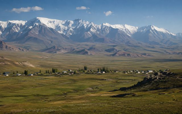 high mountain valley and route baseAlay Valley and Sary-Mogol→
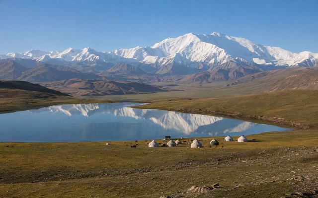 high mountain lakes and climbing areaTulpar-Kol and Achik-Tash→
Sources and relevance
Historical and background information has been verified against official and industry-specific materials. Please check current conditions immediately before your visit.